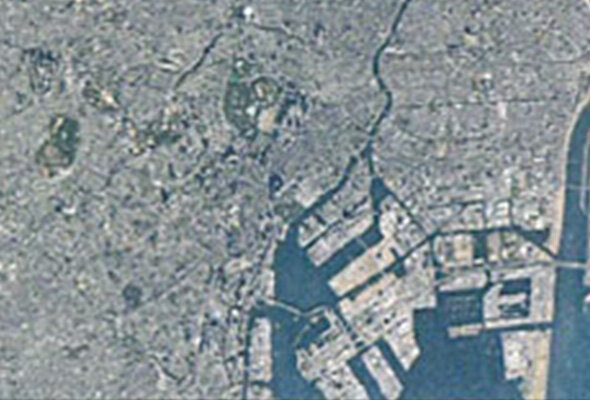
This page lists our optical and SAR satellite images and the satellite value-added products and services that make use of them. Click on an individual product or service for a more detailed explanation.
Satellite Imagery
Application
-
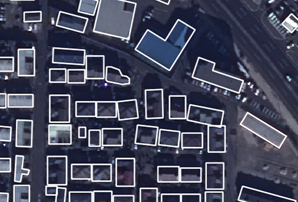
Building Detection
Extrac building outline polygons from aerial or satellite imageries.
-
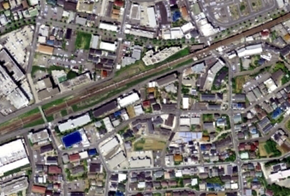
Buildings / Houses Change Detection
Detect changes in buildings from aerial or satellite imageries.
-
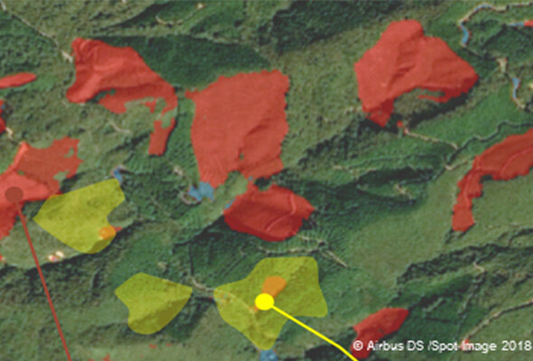
Forest Change Detection
Detect changes in forests by utilizing satellite images and AI.
-
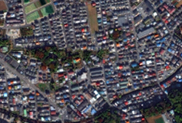
Road Detection
Detect roads from satellite images by utilizing AI.
-
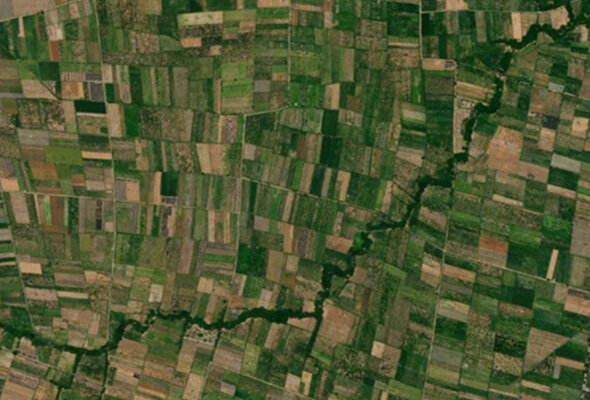
Paddy Field Detection
Detect the changes in the paddy field based on satellite images by utilizing AI.
-
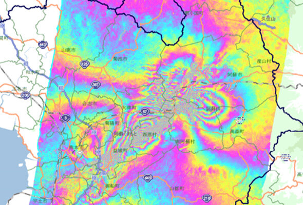
Interferometric Synthetic Aperture Radar Analysis (InSAR)
InSAR analysis is a technology for mapping ground deformation information.

