Paddy Field Detection
Overview
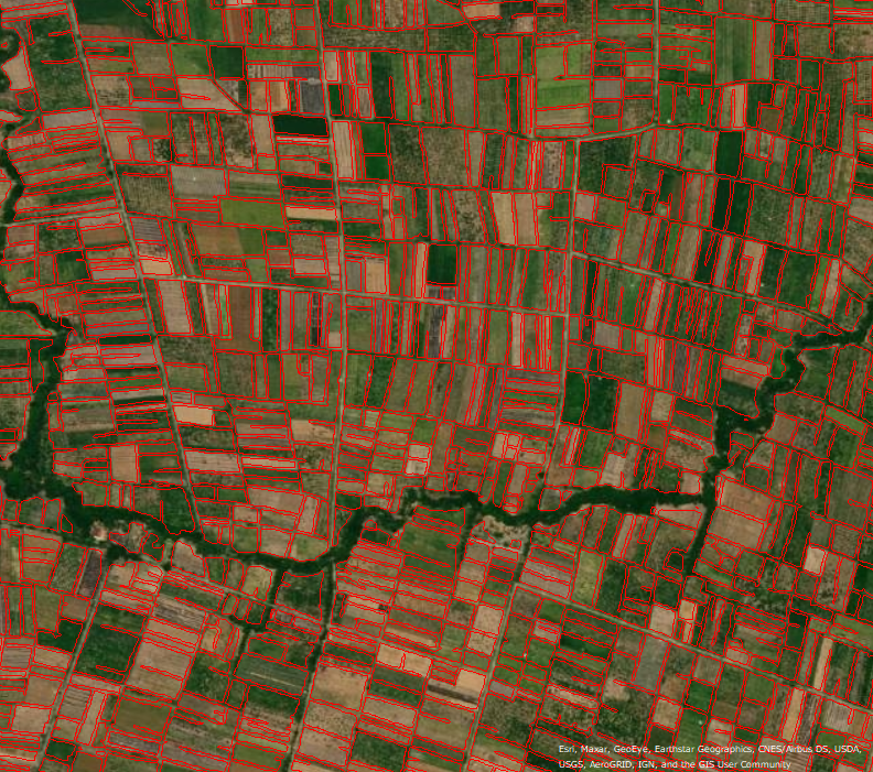
For government agencies, having more correct form land information is important for food security and industry development.
It is expected that artificial intelligence (AI) technology will be able to determine whether the field has changed based on satellite data, and update the polygons, and even determine the type of crop.
Specification
This technology predicts the paddy fields from the latest satellite images by learning the relationship between multi-temporal satellite images and paddy field polygons.
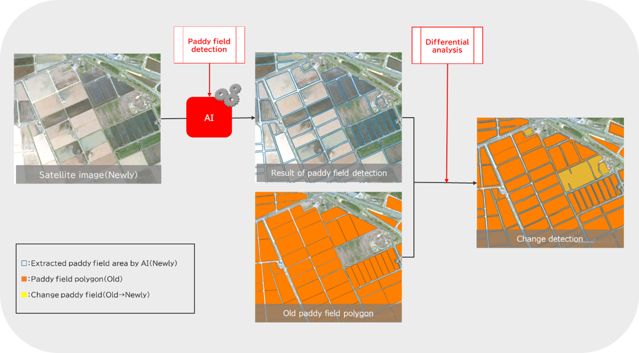
* In this case, AI technology is used for "Paddy field detection" and not used for "Defferential analysis".

