Industry
- use case -
- Other
- Public institution
- Agriculture, forestry, fishery
- Natural resources and energy
- Transport and telecom
- Construction, real estate
- Insurance, finance, media
- Environment
- Natural disaster
- Other industries
Information
-

ALOS-2 Sample Data
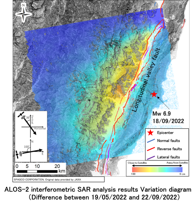
InSAR Analysis of the Vegetation Area - Earthquake of Eastern Taiwan in September 2022 -
On September 18, 2022, a Mw6.9* (according to the USGS) earthquake jolted the eastern part of Taiwan…
-

ALOS-2 Archived Images
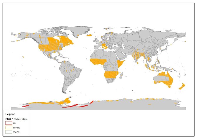
SM3 Mode Archived Images Observed in October 2022
ALOS-2 observations are mainly based on the Basic Observation Scenario. In order to promote to make …
-

ALOS-2 Archived Images
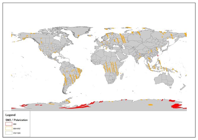
SM3 Mode Archived Images Observed in September 2022
ALOS-2 observations are mainly based on the Basic Observation Scenario. In order to promote to make …
-

ALOS-2 Archived Images
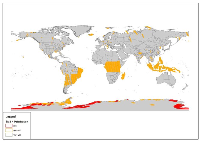
SM3 Mode Archived Images Observed in August 2022
ALOS-2 observations are mainly based on the Basic Observation Scenario. In order to promote to make …
-

ALOS-2 Sample Data
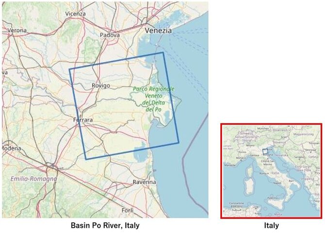
Historic drought impacting the Po River Basin in Northern Italy
Global warming increases the likelihood of drought, and even if scientists are still studying the co…

