


Introduction
Introduction to ALOSseries


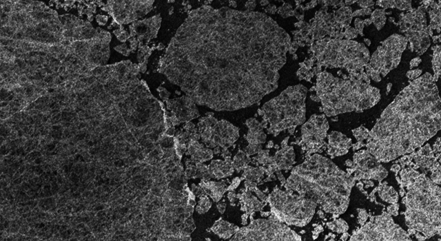
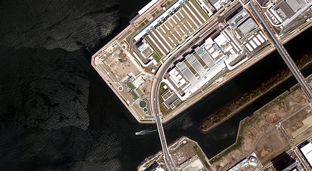
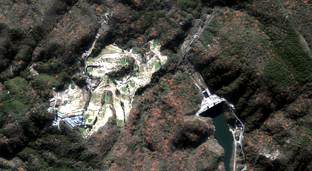
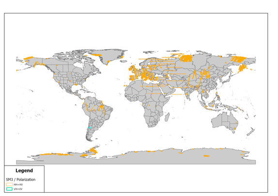
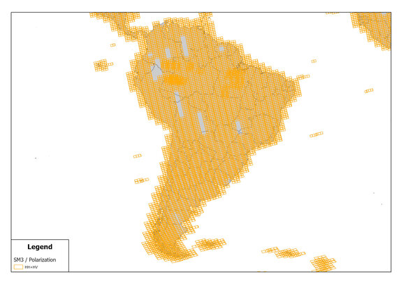
Use case & Info


You can place order earth observation data
and image of "ALOS-4" and "ALOS-2" from
Earth Observation Data Utilization
Promotion Platform

contact


PASCO CORPORATION is an official distributor of ALOS-4 and ALOS-2 PALSAR data and imagery, awarded by JAXA.
PASCO CORPORATION is constantly in pursuit of the most advanced technologies in the areas of the acquisition and processing of geospatial information. Based on the results obtained through the active utilization of these technologies, the PASCO Group provides products and services that underpin secure and comfortable lives for the people around the world.